Stanford Wildfire Hackathon
Algorithm design for wildfire tracking with crowdsourced geospatial phone data.
We tackled this wildfire hackathon because it was an interesting domain for my team of mechanical and software engineers to take on. Our team wanted to create a solution that was extremely low-cost, easy to implement, and that could have substantial impact on people’s lives.
We did research into the pain points faced by various stakeholders in the domain of wildfires, and discovered that wildfires were usually identified and located via satellite imagery. However, the satellite imagery could take a long time to be processed & received, and there could be many factors that impede satellites, such as strong cloud cover.
Then came our idea to help firefighters in identifying and locating wildfires using local, crowdsourced information from citizens! Building on the simple concept of triangulation (used in camping and seafaring activities a lot!), we found that our smartphones could provide enough data to help crowdsource and pinpoint the exact location of a wildfire. This would be a low-cost, easy and impactful way to provide more information for firefighters, while waiting for more accurate satellite data to come in.
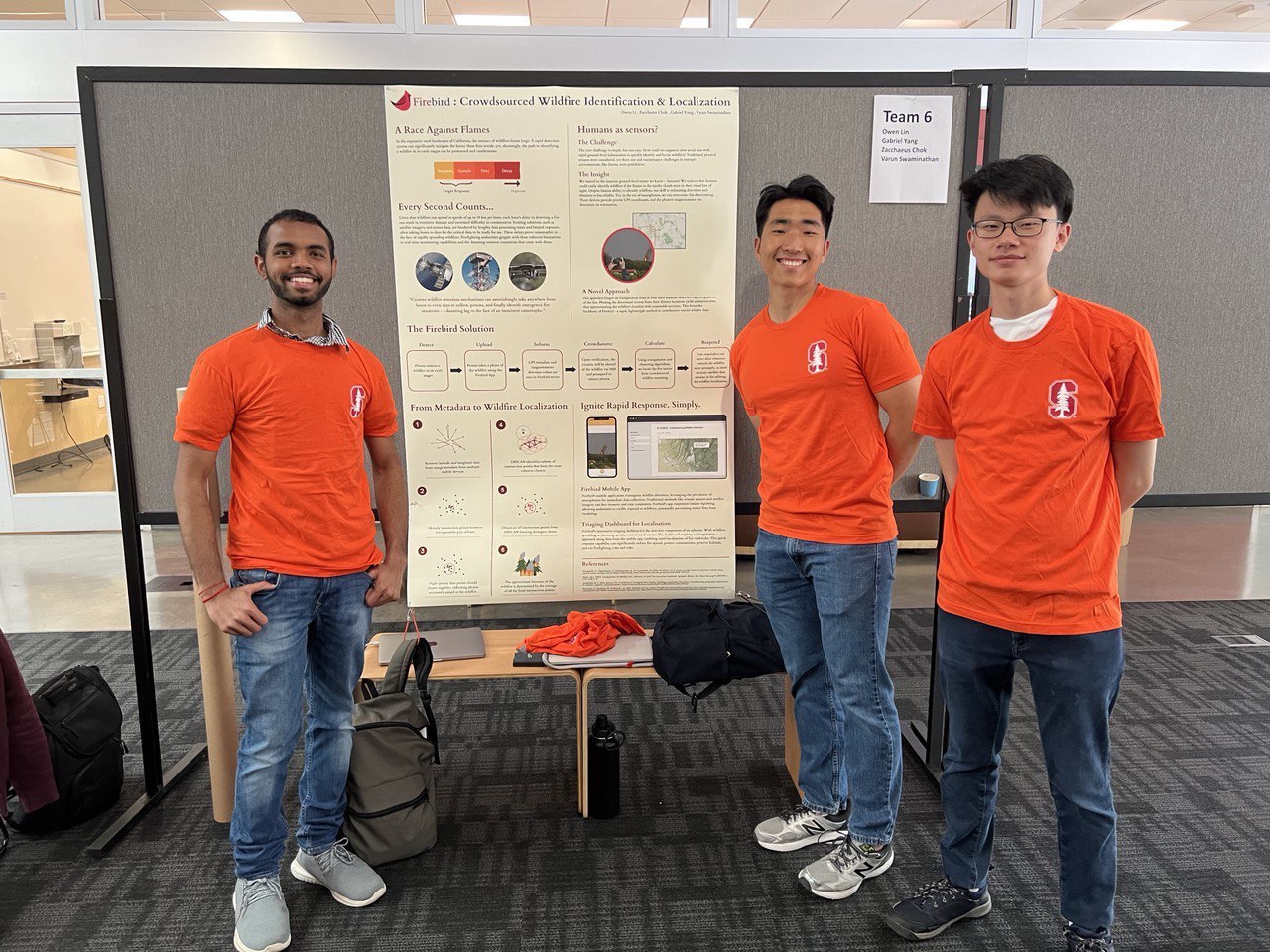
Please click on the image below to open our final competition poster, it shows all the technical design succinctly. Thank you for reading!